Getting Around Mumbai: Local Trains, Metro, Taxis and Autos
Mumbai is a narrow peninsula about 60 km long, and almost everything a visitor wants is strung along it: the old city and its museums at the southern tip, Worli and Bandra in the middle, Juhu and Powai further north, and the main airport in between. Traffic is famous for a reason. The trick is to match the transport to the leg: trains or the metro for long north to south hops, taxis and autos for the last two kilometres, and your own feet in the Fort.
Two airports
Mumbai now has two airports, so check which one is on your ticket. Our guide to arriving in Mumbai covers both in detail.
- Chhatrapati Shivaji Maharaj International Airport (BOM), at Santacruz and Andheri, is the main one. It is about 25 km from Colaba. From 25 October 2026 Terminal 1 is closing for rebuilding, and its flights are moving to Terminal 2 at Sahar, which has its own Metro Line 3 station (see below), pre-paid taxis and app cabs. Check the terminal on your boarding pass before you set off.
- Navi Mumbai International Airport (NMI), across the harbour near Panvel, opened on 25 December 2025. It handles domestic flights and a growing share of international ones. There is no train or metro into the terminal yet. By road, South Mumbai is roughly an hour away over the Atal Setu sea bridge, longer at peak times, and a BEST air-conditioned bus, route S561, runs between the airport and the World Trade Centre at Cuffe Parade by the same bridge.
The local trains
The suburban railway carries more than seven million people a day and is the fastest way to cover any distance. Three lines matter:
- Western Line: Churchgate north through Marine Lines, Charni Road, Grant Road, Mahalaxmi, Dadar, Bandra, Vile Parle (for Juhu) and Borivali (for the national park).
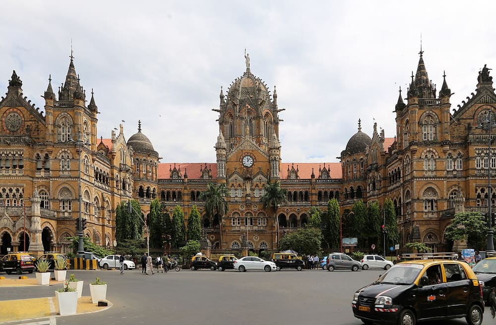
- Central Line: CSMT north through Byculla, Dadar, Kurla and on to Thane.
- Harbour Line: CSMT to Navi Mumbai and Panvel, useful for Vashi and little else for visitors.
Tickets are cheap: ₹5 to about ₹30 for second class, roughly ten times that for first class. First class is not luxurious, but it is less crowded and worth it in the daytime. Air-conditioned local trains also run on both the Western and Central lines, at a higher fare and on fewer services. Buy tickets at the station counter, from the ticket machines, or on Indian Railways’ RailOne app, which replaced the old UTS app on 1 March 2026. The Mumbai One app, launched in October 2025, sells a single QR ticket that works across local trains, the metro and buses, which is handy if one journey uses more than one.
Ladies’ coaches are marked on the platform and on the train. Women travelling alone should use them, especially after dark. Rush hour, roughly 8 to 11 in the morning heading south and 5 to 9 in the evening heading north, is genuinely dangerous if you are not used to it: people board and get off while the train is still moving. Avoid it, or travel against the flow.
A good first ride: Churchgate to Bandra on a weekday mid-morning, first class, in a window seat on the left for the sea.
The metro
The metro is newer, air-conditioned and growing fast. The line that matters most for visitors is the underground Line 3, the Aqua Line, fully open since October 2025. It runs from Aarey in the north, past the airport, through Bandra Kurla Complex, Dharavi, Siddhivinayak and Worli, then under the old city through Mahalaxmi, Grant Road, Girgaon, Kalbadevi, CSMT, Hutatma Chowk and Churchgate to Cuffe Parade. It is the quickest way between the airport and South Mumbai when the roads are jammed.
The others are mostly useful for the suburbs. Line 1 runs east to west from Versova through Andheri to Ghatkopar. Lines 2A and 7 run north to south through the western suburbs between Dahisar and Andheri, and Line 9 continues north from Dahisar. The first stretch of Line 2B is open in the east, from Mandale to Diamond Garden in Chembur. The monorail has been suspended since September 2025.
Fares run from ₹10 upwards by distance. Every restaurant page on this site shows the nearest metro station if one is within two kilometres.
Black-and-yellow taxis
The kaali-peeli is the classic Mumbai cab, and south of Bandra and Sion, where autos are not allowed, it is the only vehicle you can hail on the street. Taxis run on a meter. Insist on it, and if a driver refuses, walk to the next one; there is always a next one. The minimum fare is small, under ₹50, and a 15-minute hop across the old city rarely costs more than ₹150. Cool Cabs are the blue air-conditioned version, at a slightly higher rate.
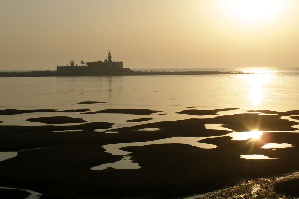
Drivers navigate by landmark, not address: say “Regal Cinema” rather than the street name, and “Haji Ali” rather than Lala Lajpat Rai Marg. Carry small notes, because change for a ₹500 note is a negotiation.
Auto-rickshaws
Autos are not allowed in the southern city. Their territory begins at Bandra and Sion and covers the suburbs: Juhu, Andheri, Powai, Borivali. They are metered too, cheaper than taxis, and the right way to cover two or three kilometres in the suburbs. The same rules apply: meter on, landmarks not addresses, small change.
Uber and Ola
App cabs work everywhere and remove the meter argument. Prices surge in the rain and at rush hour, and drivers cancel when the route is unattractive, so allow extra time for a pickup in the evening. For airport transfers, the pre-paid taxi counter in arrivals is the simplest fixed-price option.
Buses, ferries and the sea link
BEST buses are extensive and very cheap; the Chalo app and Google Maps show routes and live locations, and the red double-deckers on the Fort routes are a pleasure in themselves. Ferries leave the Gateway of India for Elephanta (about an hour) and for Mandwa on the Alibaug side, and the Gorai ferry near Borivali serves the Vipassana Pagoda. The Bandra–Worli Sea Link is a toll road for cars only, but ask your taxi to take it: it turns a slow hour into ten minutes, and the view is part of the trip. The Coastal Road does the same job further south, from Marine Drive to Worli, where it joins the sea link.
Riding pillion
If you get on the back of a friend’s scooter or bike, wear a helmet. Mumbai Traffic Police made helmets compulsory for pillion riders in June 2022, so the rule covers the passenger as well as the rider. Current Mumbai fine lists put the penalty at ₹1,000, and the police can also suspend the rider’s licence. They do enforce it: in May 2023 the riders who gave Amitabh Bachchan and Anushka Sharma lifts through traffic were fined after photos of the rides went round on social media.
Walking
The Fort, Kala Ghoda, Colaba and Marine Drive are best on foot: the pavements are decent and the distances short. Elsewhere, walking is for short hops between a station and where you are going. Traffic drives on the left and does not stop for pedestrians, so cross with a local, at their pace.
The short version
| Journey | Best option |
|---|---|
| Main airport (BOM) to South Mumbai | Metro Line 3 if you have light bags; otherwise pre-paid taxi or app cab |
| Navi Mumbai airport (NMI) to South Mumbai | App cab or taxi over the Atal Setu; BEST bus S561 to Cuffe Parade |
| Colaba to Bandra | Western Line from Churchgate, first class, off-peak |
| Inside the Fort or Colaba | Walk |
| Two kilometres in the suburbs | Auto-rickshaw |
| Two kilometres in the south | Kaali-peeli taxi |
| Anywhere in the rain | App cab, booked early, or the metro |
| Elephanta, Alibaug | Ferry from the Gateway |
Sources
-
Business Today on the pillion helmet rule, 25 May 2022: https://businesstoday.in/latest/story/mumbai-traffic-police-makes-helmets-mandatory-for-pillion-riders-335044-2022-05-25
-
Zurich Kotak, Mumbai traffic fines 2026: https://www.zurichkotak.com/blog/motor-insurance/be-aware-of-these-traffic-rules-and-challan-rates-in-mumbai
-
The Tribune on the Amitabh Bachchan and Anushka Sharma rides, 17 May 2023: https://www.tribuneindia.com/news/nation/amitabh-bachchan-anushka-sharma-take-lift-on-motorbikes-mumbai-police-impose-fine-on-riders-for-helmet-rule-violation-508629
-
Free Press Journal on the UTS app’s replacement by RailOne from 1 March 2026: https://www.freepressjournal.in/tech/uts-train-ticket-booking-app-to-be-discontinued-in-mumbai-in-two-days-how-to-transition-to-railone-easily
-
ThePrint on the launch of the Mumbai One app, October 2025: https://theprint.in/india/pm-launches-mumbai-one-single-app-for-all-public-transport-tickets/2760053/
-
Aviation A2Z on the start of flights at Navi Mumbai International Airport, 25 December 2025: https://aviationa2z.com/index.php/2025/12/25/navi-mumbai-international-airports-starts-flight-operation/
-
The Week on the closure of Terminal 1 from 25 October 2026: https://www.theweek.in/news/biz-tech/2026/10/01/flying-out-of-mumbai-today-check-if-the-flight-or-terminal-has-shifted.html
-
Free Press Journal on the airport bus routes, 25 December 2025: https://www.freepressjournal.in/mumbai/from-marol-to-cuffe-parade-new-ac-bus-services-connect-navi-mumbai-airport-with-key-areas-complete-details
-
Station locations: © OpenStreetMap contributors, Open Database Licence